
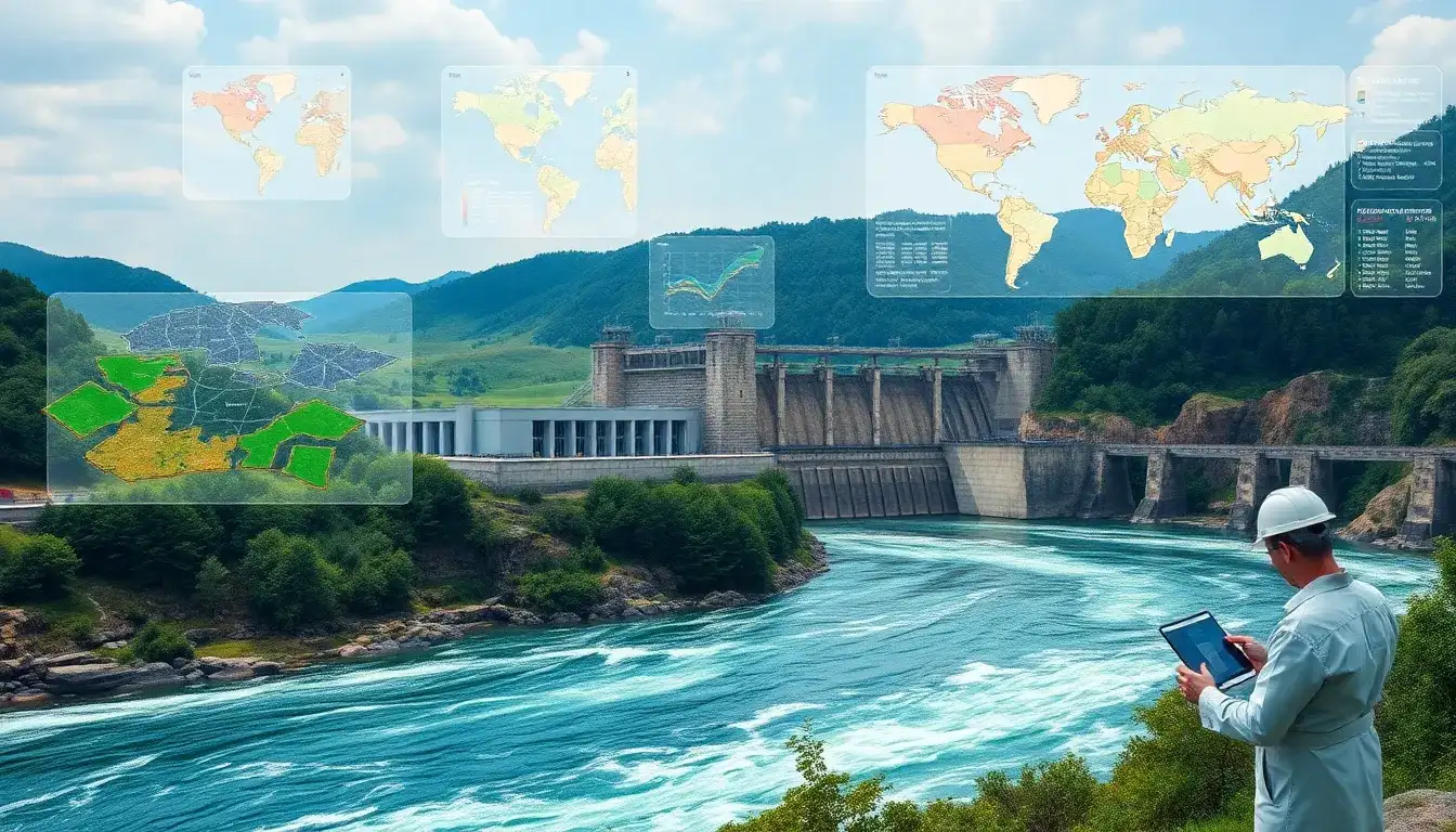
Geographic Information Systems (GIS) play a crucial role in optimizing the performance of hydropower plants by enhancing the planning, selection, and operational efficiency of these facilities. Here are the key ways GIS contributes to hydropower plant optimization:
Role of GIS in Hydropower Optimization
- Site Selection and Planning:
- GIS facilitates the identification of suitable locations for hydropower plants by analyzing spatial data such as stream gradient, discharge, and potential in-stream power.
- It helps in preliminary planning by quickly assessing areas and identifying potential power generation capacities.
- Efficiency and Cost Reduction:
- GIS tools reduce the time, cost, and errors associated with site identification and project evaluation.
- They enable energy decision-makers to assess river potential and choose the best alternatives for installing hydroelectric power plants.
- Multi-Criteria Evaluation (MCA):
- GIS-based MCA integrates geographic data with decision-maker preferences to evaluate potential sites based on criteria like discharge, head, and stream power.
- This method helps prioritize and select sites that meet specific feasibility criteria (e.g., discharge ≥ 0.1 m³/s, head ≥ 5 m).
- Optimization and Monitoring:
- GIS aids in optimizing hydropower production by evaluating flow regulation and reallocating stored volumes to enhance operational efficiency.
- It supports continuous monitoring and adaptation of plant operations to ensure maximum power output under varying conditions.
Overall, GIS technology is essential for optimizing the performance of hydropower plants by streamlining site selection, planning, and operational management processes.
Original article by NenPower, If reposted, please credit the source: https://nenpower.com/blog/what-role-does-gis-play-in-optimizing-the-performance-of-hydropower-plants/
