
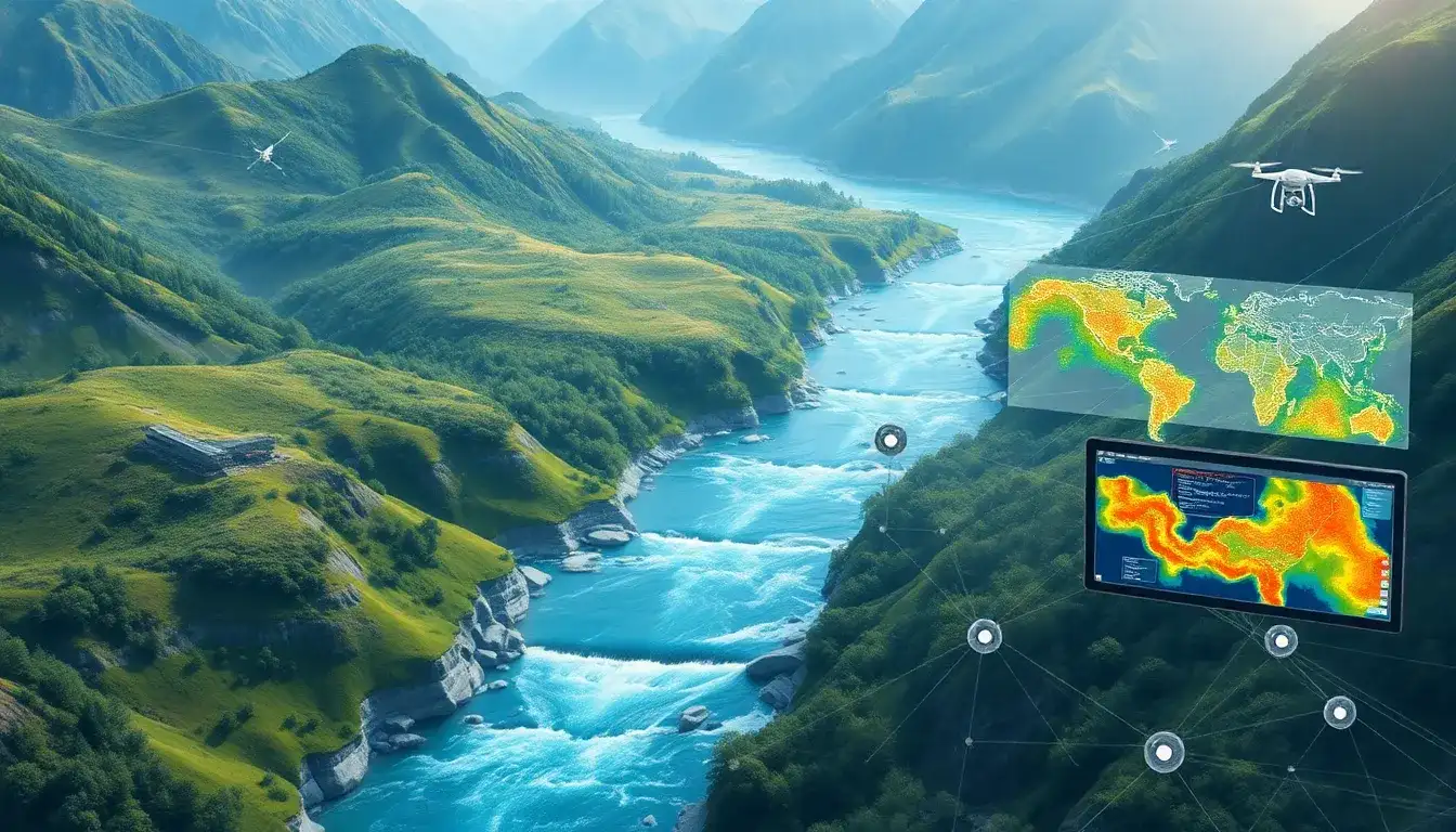
Geographic Information System (GIS)
plays a significant role in identifying the best locations for small hydropower plants by providing a systematic approach to evaluate and analyze various environmental and technical factors. Here are the key ways GIS assists in this process:
Key Contributions of GIS
- Data Integration and Analysis:
- GIS allows the integration of diverse data types such as topography, hydrology, land use, and environmental features. This integration helps in creating comprehensive maps and models that are essential for assessing the feasibility of a site for small hydropower development.
- Spatial Analysis:
- GIS tools enable spatial analysis of water resources, including rivers and streams, to identify areas with suitable water flow, slope, and other necessary characteristics for small hydropower plants.
- Site Selection:
- By using GIS, potential sites can be filtered based on criteria such as runoff, elevation, distance to existing infrastructure, and environmental sensitivity. This helps in pinpointing locations that are both technically viable and environmentally sustainable.
- Efficiency and Cost-Effectiveness:
- Unlike traditional methods, GIS-based approaches are efficient in terms of time and cost. They allow for rapid assessment over large areas, reducing the likelihood of overlooking high-potential sites.
- Visual Presentation:
- GIS outputs can be presented in maps and 3D models (e.g., Google Earth), facilitating communication with stakeholders and further analysis.
Technical and Ecological Considerations
- Hydrological Modeling: GIS is often coupled with hydrological models to better understand water flow patterns and potential impacts on the environment.
- Ecological Constraints: GIS helps in considering ecological factors like national parks, groundwater bodies, and natural resorts to ensure that the development does not harm sensitive environments.
- Economic Factors: Economic viability is also assessed by considering factors such as the efficiency of the plant and the cost implications of accessing remote areas.
Overall, GIS provides a robust framework for evaluating potential locations for small hydropower plants by integrating various technical, ecological, and economic factors into a comprehensive assessment.
Original article by NenPower, If reposted, please credit the source: https://nenpower.com/blog/how-does-gis-help-in-identifying-the-best-locations-for-small-hydropower-plants/
