
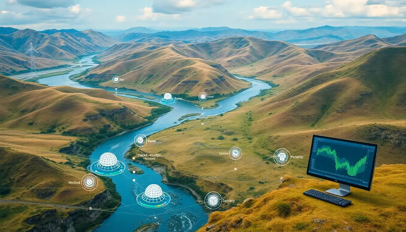
Geographic Information Systems (GIS) play a crucial role in evaluating the power production capacity of small hydropower plants by providing a systematic and integrated approach to site assessment. Here’s how GIS facilitates this evaluation:
Key Roles of GIS in Small Hydropower Evaluation
- Location Identification:
- GIS allows for the identification of potential sites for small hydropower plants by examining factors such as hydraulic head, water discharge, and geology.
- It utilizes Digital Elevation Models (DEMs) and other spatial data to pinpoint areas where the elevation gradient and water flow are suitable for hydroelectric power generation.
- Power Potential Assessment:
- GIS tools can assess the power generation potential of a site by calculating the cumulative discharge along rivers and watersheds, which directly affects hydroelectric power capacity.
- It helps in comparing different development plans for small-scale hydropower stations based on their energy production potential and costs.
- Technical and Ecological Considerations:
- GIS integrates technical, ecological, and economic factors, such as efficiency, water volume during specific periods, and sensitivity to changes in runoff, to evaluate site viability.
- It provides detailed maps and data that can be used for further analysis, ensuring that ecological impacts are minimized while maximizing energy output.
- Data Visualization and Presentation:
- GIS provides visual outputs like maps and 3D models, which are invaluable for presenting findings to stakeholders, including investors and public authorities.
- These visualizations help in decision-making by offering a clear representation of potential sites and their attributes.
- Sensitivity Analysis:
- GIS enables the performance of sensitivity analyses to estimate the robustness of potential sites under varying conditions, such as changes in water runoff.
Conclusion
In summary, GIS facilitates the evaluation of power production capacity for small hydropower plants by offering a comprehensive framework for site identification, technical assessment, and ecological impact analysis. This approach supports the planning and development of small hydropower plants in a way that is both efficient and environmentally responsible.
Original article by NenPower, If reposted, please credit the source: https://nenpower.com/blog/how-does-gis-facilitate-the-evaluation-of-power-production-capacity-for-small-hydropower-plants/
