
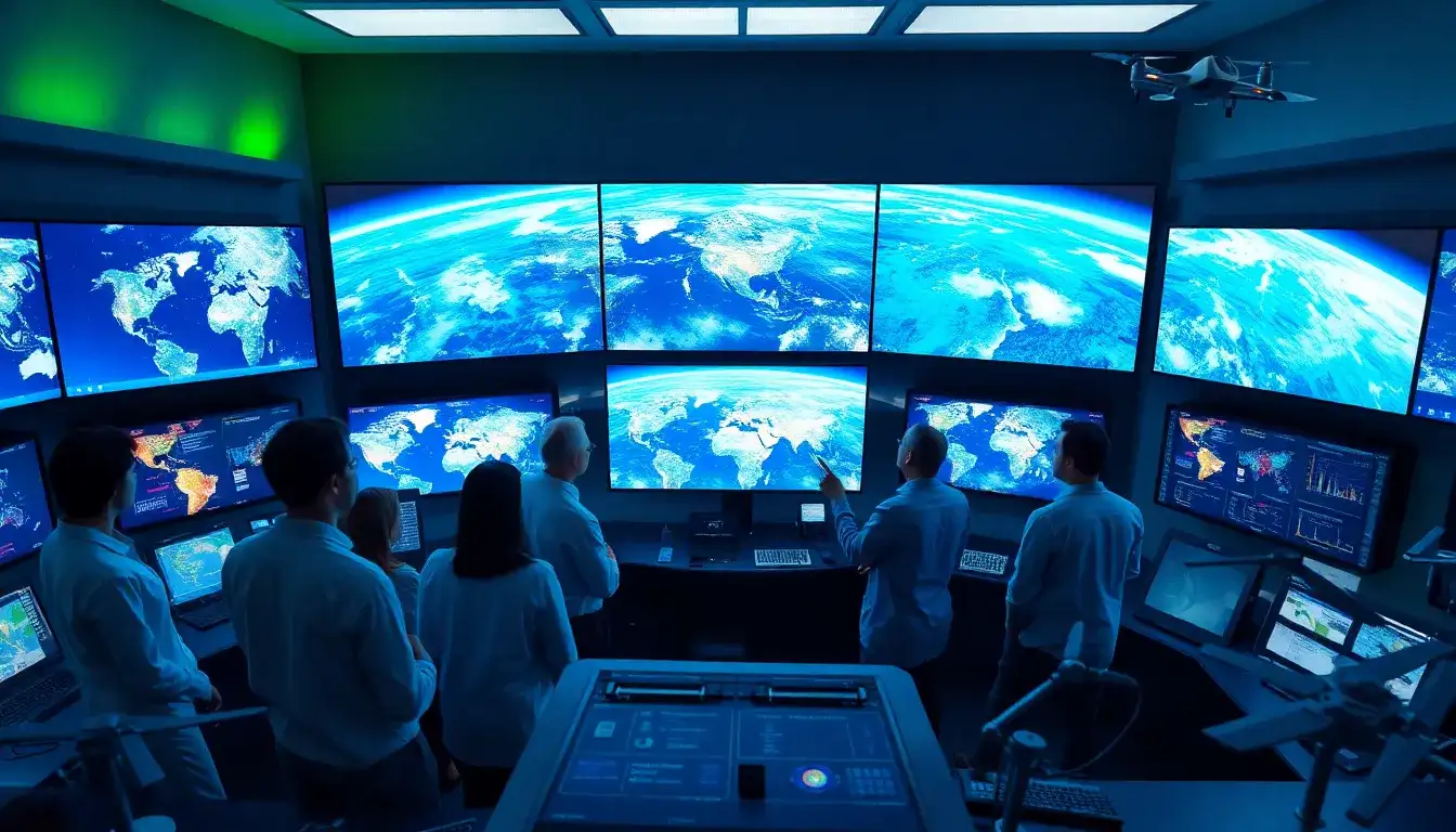
Integrating Satellite Imagery into AI Weather Predictions
- Data Collection and Preprocessing:
- Satellite images are collected from various satellites, such as geostationary and polar-orbiting satellites, which provide comprehensive views of global weather patterns.
- The raw data is then preprocessed to ensure it is clean, standardized, and ready for analysis.
- Machine Learning and Deep Learning Techniques:
- Convolutional Neural Networks (CNNs) are particularly useful for analyzing satellite images. These models can detect cloud formations, storms, and other weather phenomena with high accuracy.
- Recurrent Neural Networks (RNNs) can also be used for sequential predictions, forecasting weather over several days based on current and historical data.
- Data Integration:
- AI models integrate satellite data with other sources like ground-based sensors and weather stations. This integration creates a comprehensive view of weather conditions, enabling more accurate and detailed predictions.
- Real-Time Processing:
- AI technologies process massive datasets efficiently, allowing for real-time weather forecasts and updates. This capability ensures that forecasts remain accurate and relevant for various industries.
- Visualizations and Predictions:
- AI also aids in generating realistic future visualizations, such as satellite images of potential flooding. By combining AI models with physics-based flood models, researchers can produce detailed, trustworthy images that help in planning and decision-making.
Enhanced Forecasting Capabilities
- Accuracy and Speed: AI models like GraphCast provide more accurate and faster weather forecasts, often outperforming traditional supercomputer-based systems at a significantly reduced computational cost.
- Accessibility: AI can democratize forecasting, enabling developing countries and data-sparse regions to generate high-quality forecasts using less computational power.
Original article by NenPower, If reposted, please credit the source: https://nenpower.com/blog/how-does-ai-integrate-satellite-imagery-into-weather-predictions/
