
To determine if your area is considered a high fire threat district, you can follow these steps:
Steps to Determine High Fire Threat Areas
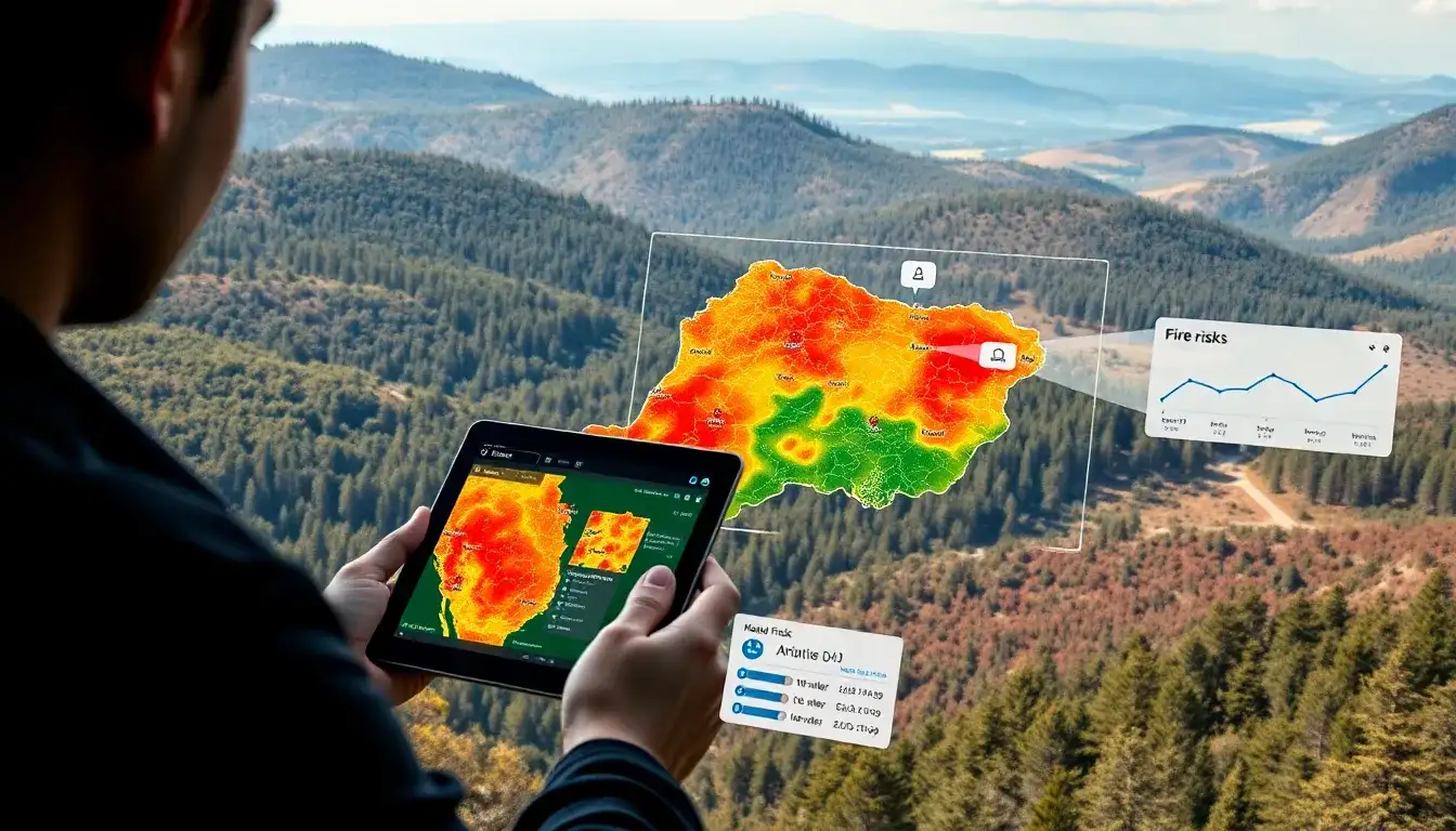
- Use the CPUC Fire-Threat Map:
- Access the California Public Utilities Commission (CPUC) GIS web viewer at https://ia.cpuc.ca.gov/firemap/.
- Use the search bar to enter your address and view detailed maps that show high fire-threat areas categorized into Tier 1, 2, and 3 zones.
- Fire Hazard Severity Zones (FHSZ):
- Visit the Office of the State Fire Marshal’s website to view Fire Hazard Severity Zones, which classify areas into Moderate, High, and Very High zones based on fire hazard.
- Use the map viewer to locate your property within these zones.
- Consult Local Authorities:
- Contact your local government or fire department for specific information regarding fire threat levels in your area, as local designations can vary.
- Understanding the Maps:
- Tier 1 High Hazard Zones (HHZs): Areas near communities, roads, and utility lines with direct threats to public safety.
- Tier 2 and 3 Fire-Threat Areas: Elevated and extreme risks from utility-related wildfires, respectively.
- FHSZs: Moderate, High, and Very High based on physical conditions like fuel loading, slope, and fire weather.
By using these resources, you can better understand the fire threat level in your area and take appropriate precautions.
Original article by NenPower, If reposted, please credit the source: https://nenpower.com/blog/how-can-i-determine-if-my-area-is-considered-a-high-fire-threat-district/
